RoutScape
Research
A collaborative augmented reality tool for planning and visualizing flood evacuation routes on a shared map.
Overview
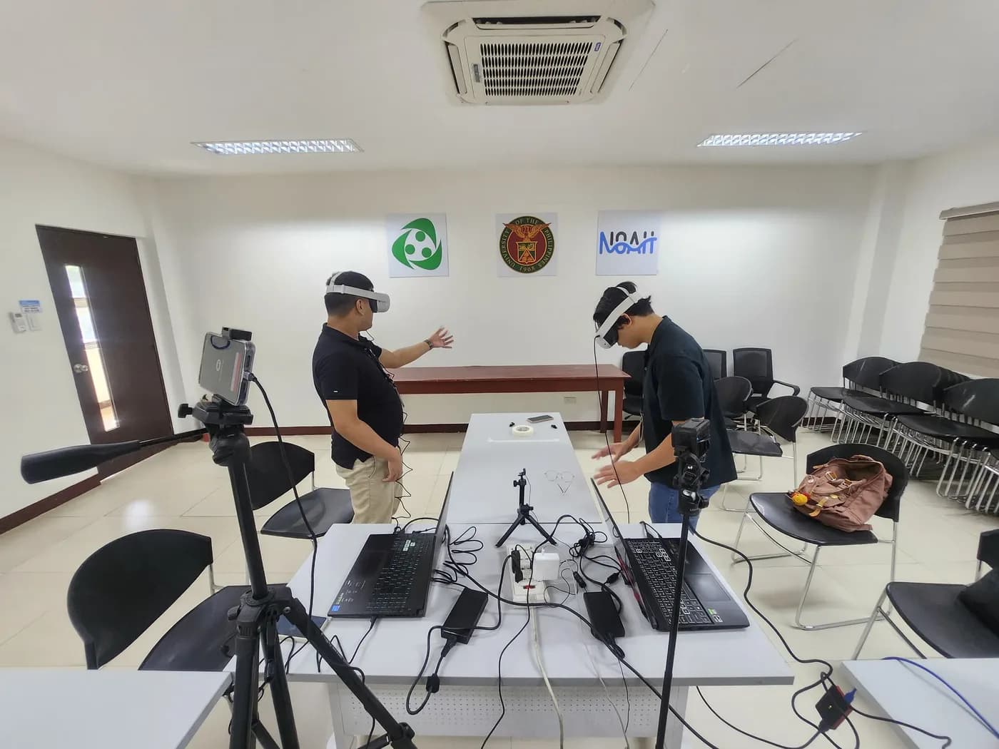
RoutScape is an augmented reality application that lets multiple users collaboratively plan and visualize flood evacuation routes on a physical map. It was my undergraduate thesis project at De La Salle University.
My role
I led expert outreach, coordinating with local government units and domain experts, and co-designed the AR system that supports flood evacuation planning.
Implementation
Built in Unity with C# and deployed to Meta Quest headsets. Multiple users share the same map and can place and discuss routes together.
Publication
- Title
- RoutScape: Collaborative AR for Flood Evacuation Route Planning
- Venue
- Undergraduate thesis, De La Salle University